By MARCIA DUNN for Associated Press
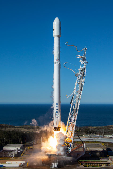
A U.S.-French satellite that will map almost all of the world’s oceans, lakes and rivers rocketed into orbit Friday.
The predawn launch aboard a SpaceX rocket from Vandenberg Space Force Base in California capped a highly successful year for NASA.
Nicknamed SWOT — short for Surface Water and Ocean Topography — the satellite is needed more than ever as climate change worsens droughts, flooding and coastal erosion, according to scientists. Cheers erupted at control centers in California and France as the spacecraft started its mission.
“It is a pivotal moment, and I’m very excited about it,” said NASA program scientist Nadya Vinogradova-Shiffer. “We’re going to see Earth’s water like we’ve never before.”
|
|
About the size of a SUV, the satellite will measure the height of water on more than 90% of Earth’s surface, allowing scientists to track the flow and identify potential high-risk areas. It will also survey millions of lakes as well as 1.3 million miles (2.1 million kilometers) of rivers.
The satellite will shoot radar pulses at Earth, with the signals bouncing back to be received by a pair of antennas, one on each end of a 33-foot (10-meter) boom.
It should be able to make out currents and eddies less than 13 miles (21 kilometers) across, as well as areas of the ocean where water of varying temperatures merge.